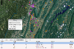
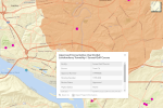
SRBC Mapping Applications
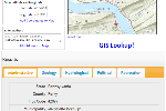
- Input a location in the Susquehanna River Basin by entering coordinates, typing
an address, or clicking on the map
- Return a wide variety of geographical information for the following categories:
political, geology, hydrological, and recreation
- HTML5 browsers with location sharing can map your approximate location
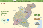
- View basinwide or subbasin specific base maps such as land use/land
cover, soils, geology, precipitation, and major watersheds
- View maps from current Commission projects such as Subbasin Surveys,
Low Flow Monitoring, TMDL, West Branch AMD Remediation Strategy, and more
- Download GIS datasets and metadata created by the Commission
- Use the
search tools to build queries based on geography to view, graph and download sampling
and discharge location data
-
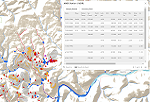
Map sampling and discharge locations, impaired streams, and abandoned mine lands
- Zoom to area of interest and select stations or filter parameter results on the map
- Create custom graphs, statistics and query raw data for real-time water quality data at selected
monitoring stations
- Hover over monitoring stations on the map to view real-time water quality data
- Use the map to zoom to an area of interest and find nearby monitoring stations
- Build queries to assess and track water quality conditions in the basin
- View sampling stations collecting fish, water chemistry, macroinvertebrate, and
habitat data
- Zoom to area of interest and select stations on the map or in the data viewer for site information and sampling
results
- Search
for water permit approvals and applications, or subscribe to RSS feeds to receive
electronic notices
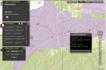
- View a map
of approved and pending water permit locations, impaired streams, and aquatic resource
classes
- Zoom to area of interest and select permits for site information
